


Cyclone Donna covers Vanuatu's vast archipelago.
Weatherwatch.co.nz said according to CNN's Severe Weather Team Donna now had sustained winds of 215km/h gusting up to a ferocious 260km/h, making it the strongest May cyclone ever recorded in the Southern Hemisphere.
It eclipses Tropical Cyclone Nadu which struck in 1986.
New Caledonia is next in Donna's firing line as the vicious storm heads south but it's still not clear if it will bring havoc to our shores.
The Fiji MetService is yet to officially confirm any change in storm category. New Zealand's MetService says the Fijian weather agency is responsible for the cyclone and there is no expectation the storm will be upgraded in the its next update due around 1pm.
As Donna ramps up, forecasters are closely watching its projected path across the Pacific.
While it's expected to weaken as it moves down towards New Zealand both MetService and Weatherwatch.co.nz say it's unlikely there will be a direct hit.
But there was an outside chance of it colliding with a spell of bad weather from Australia due to hit the country late on Thursday.
Even if it passed by it was also likely to cause big swells and bring rain to parts of the country.
Forecasters say it won't be until midweek that they'll have the best idea of when, or if, Donna will pose any major problems.
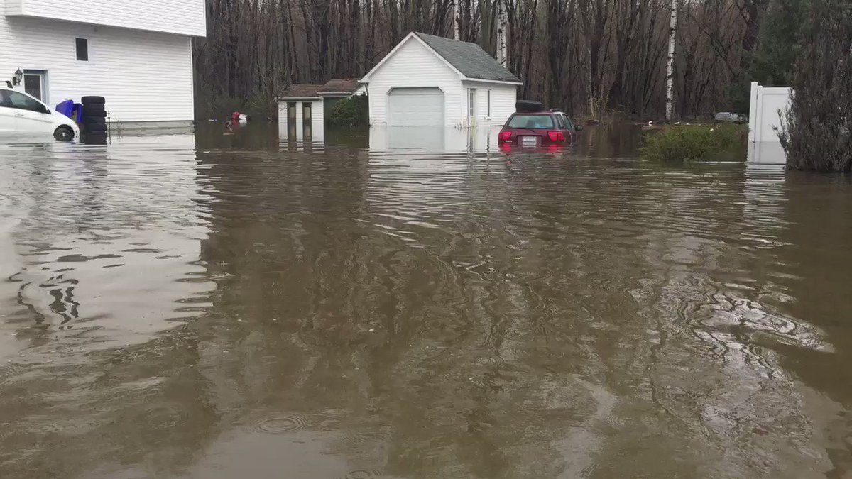
Donna is currently buffeting Vanuatu where entire villages in the northern Torres group have sought shelter in caves. Elsewhere parts of Vanuatu's capital Port Vila have been submerged after heavy rain flooded low-lying areas.
Roofs have been lifted and buildings destroyed as Donna carves a trail of destruction across islands in the Torba province. Authorities are warning residents across central Vanuatu islands to get ready to go to shelter.
Floodwaters have left homes in ruins carving large chunks of land from properties in Port Vila.
Weatherwatch.co.nz said after a "bouncy" tracking at the end of last week the tropical cyclone had finally turned south after waiting for the fine weather parked over New Zealand to leave.
Donna is expected to track past Noumea early Wednesday morning.
The cyclone would likely weaken once it left New Caledonia but could link up with a low crossing the country and bring incredibly heavy downpours.
There was also a chance the remnants of Donna could develop into a new low pressure system east of the North Island and deepen further.
MetService says Donna poses no immediate risk to New Zealand.
The next major weather feature coming our way was a complex trough currently south of Adelaide and expected to cross New Zealand later this week bringing widespread rain and strong winds.


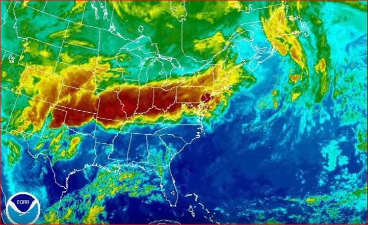 This superstorm is growing and already coering more than half of the United States from New York to Texas. via Youtube Video

You need to be a member of Earth Changes and the Pole Shift to add comments!
Join Earth Changes and the Pole Shift