
TOTAL DESTRUCTION IN PARTS OF CEBU CITY, PHILIPPINES, 05.11.25

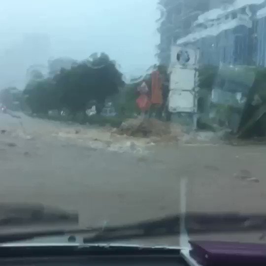
Massive flooding in Da Nang, Vietnam. 30.10.2025.

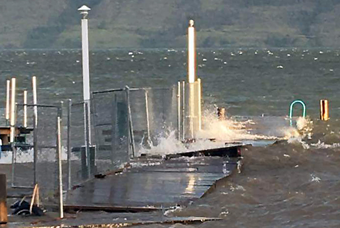
Giant waves crash over seawalls during a storm
in the suburbs of Taipei, Taiwan. 21.10.2025
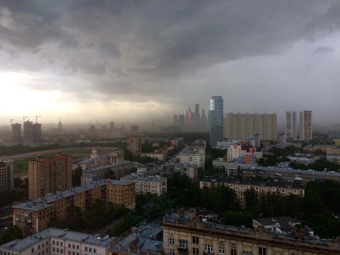
"We warned at the start of ZetaTalk, in 1995, that unpredictable weather extremes, switching about from drought to deluge, would occur and increase on a lineal basis up until the pole shift. Where this occurred steadily, it has only recently become undeniable. ZetaTalk, and only ZetaTalk, warned of these weather changes, at that early date. Our early warnings spoke to the issue of global heating from the core outward, hardly Global Warming, a surface or atmospheric issue, but caused by consternation in the core. Affected by the approach of Planet X, which was by then starting to zoom rapidly toward the inner solar system for its periodic passage, the core was churning, melting the permafrost and glaciers and riling up volcanoes. When the passage did not occur as expected in 2003 because Planet X had stalled in the inner solar system, we explained the increasing weather irregularities in the context of the global wobble that had ensued - weather wobbles where the Earth is suddenly forced under air masses, churning them. This evolved by 2005 into a looping jet stream, loops breaking away and turning like a tornado to affect the air masses underneath. Meanwhile, on Planet Earth, droughts had become more intractable and deluges positively frightening, temperature swings bringing snow in summer in the tropics and searing heat in Arctic regions, with the violence of storms increasing in number and ferocity."
ZETATALK
Wild Weather, the Wobble Effect - Earth Changes and the Pole Shift


 via
via 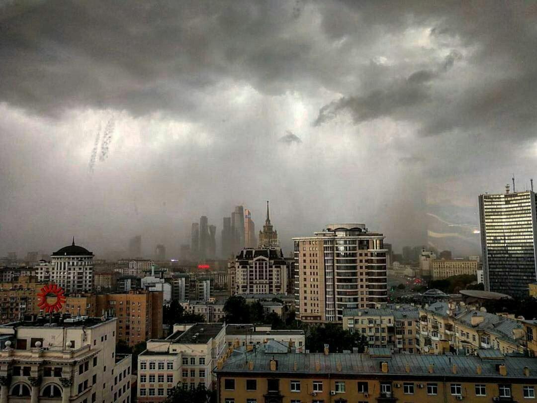 via
via 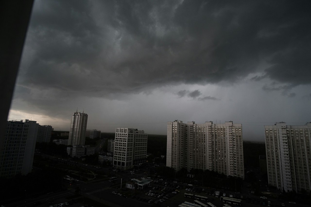 via
via 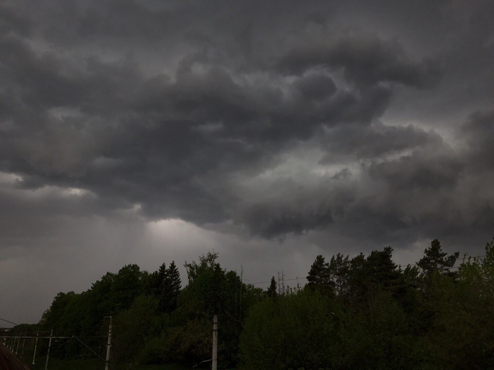 via
via  via
via  via
via  via
via 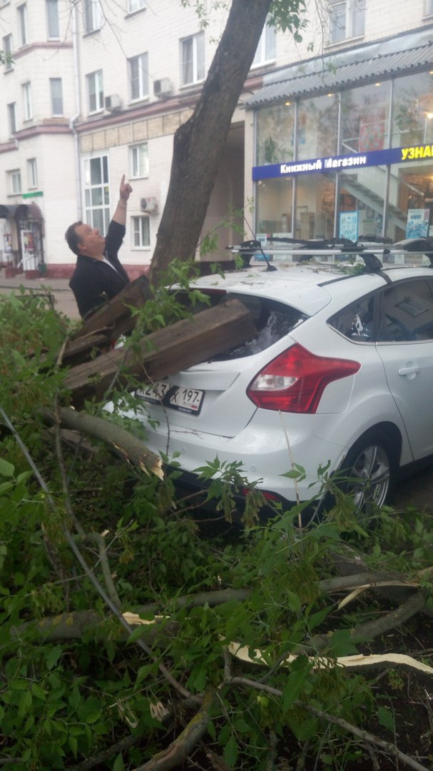 via
via  via
via 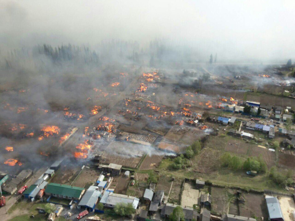 Deadly wildfires swept across Siberia burning down 200 homes in villages on May 24 2017.
 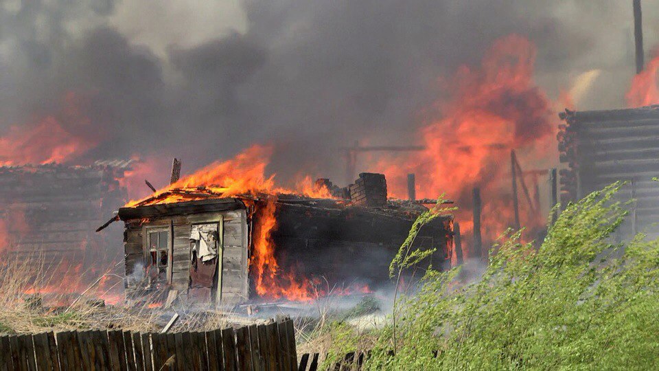 A house burning during apocalyptical wildfires in Siberia on May 24 2017.
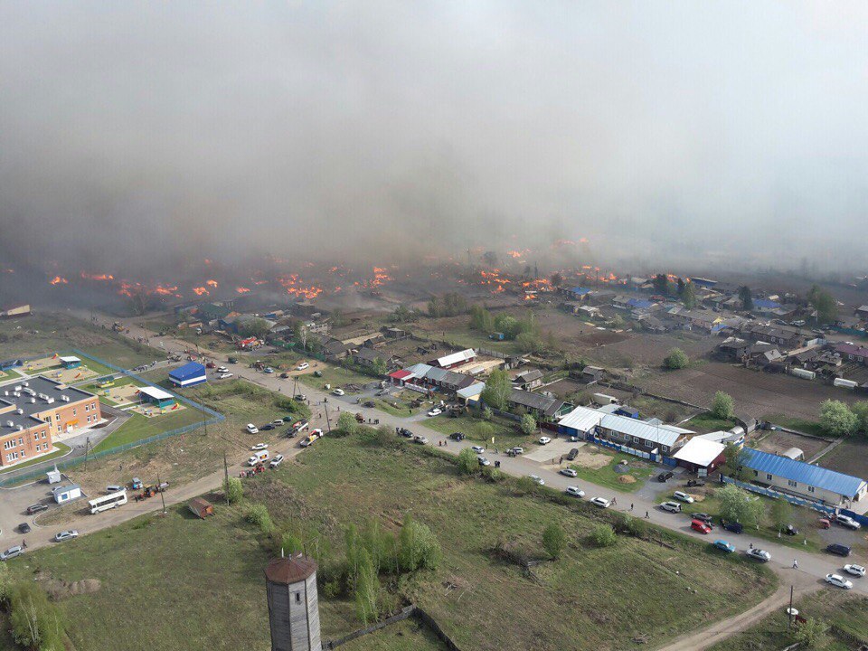 180 houses burned down in Siberia villages in May 2017.
 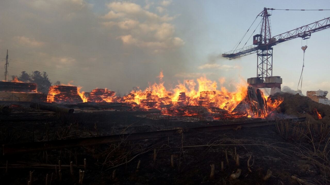 Officials are investigating the source of the furious fire.
 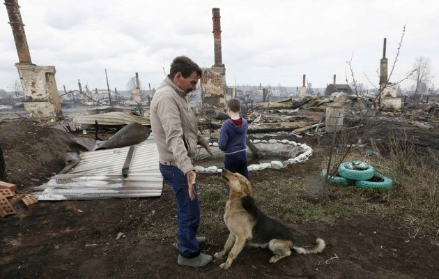 Desolation after a complete part of a city has disappeard, burned down by an apocalyptical fire in Siberia.
  Een churches didn’t resist the Siberian inferno.
 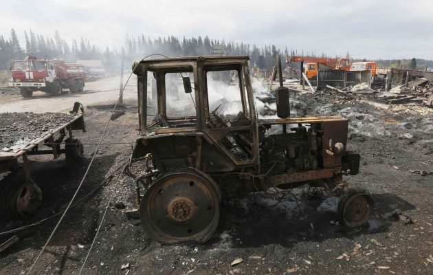 Luckily onl 3 people died in the blaze.
 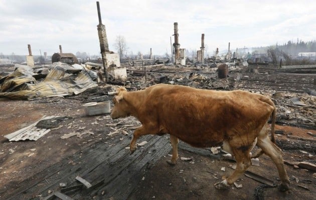 A cow in the Siberian city destroyed by the flames.
 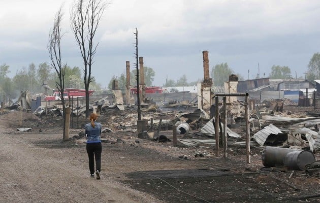 About 400 people are looking for another home after the destruction of their homes in Siberia.
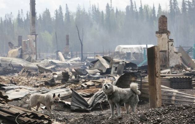 Happy to be ae at home! Have a prayer for them!
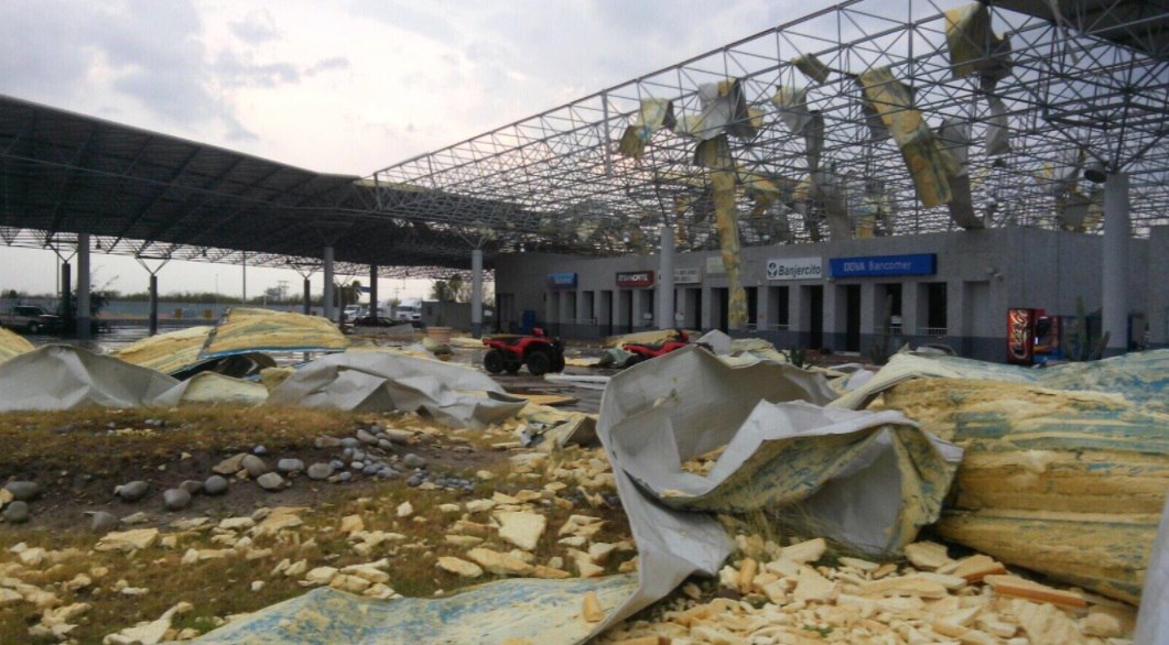 Border between USA and Mexico closed after tornado destroys custom facilities in Nuevo Laredo (Mexico).
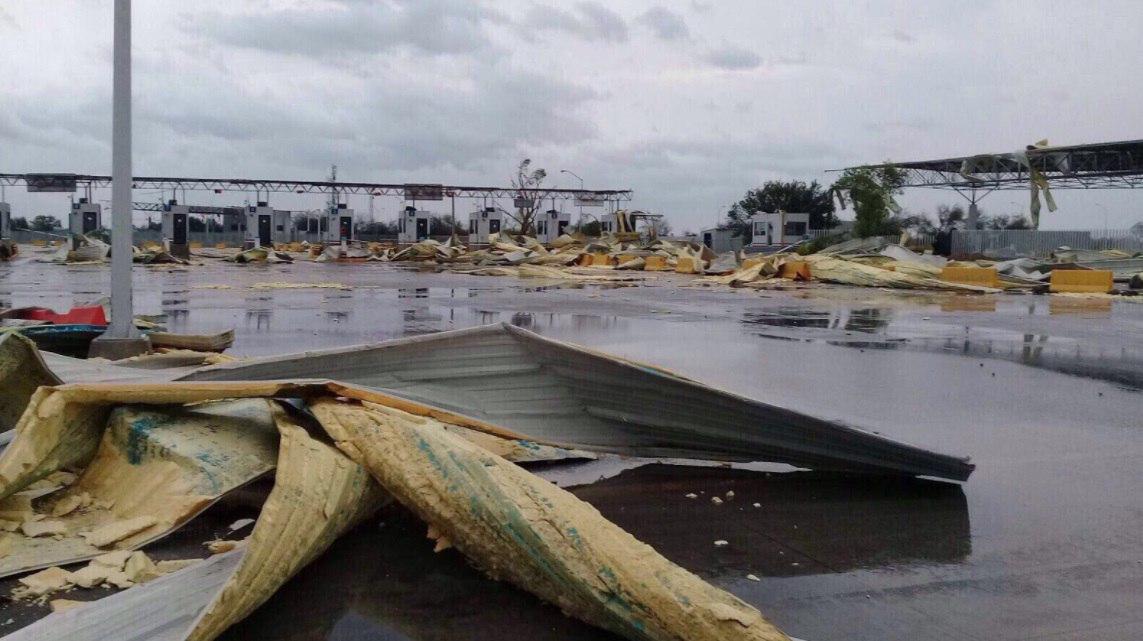 The unexpected tornado also damaged trucks and electricity poles at the border between Texas and Mexico.
 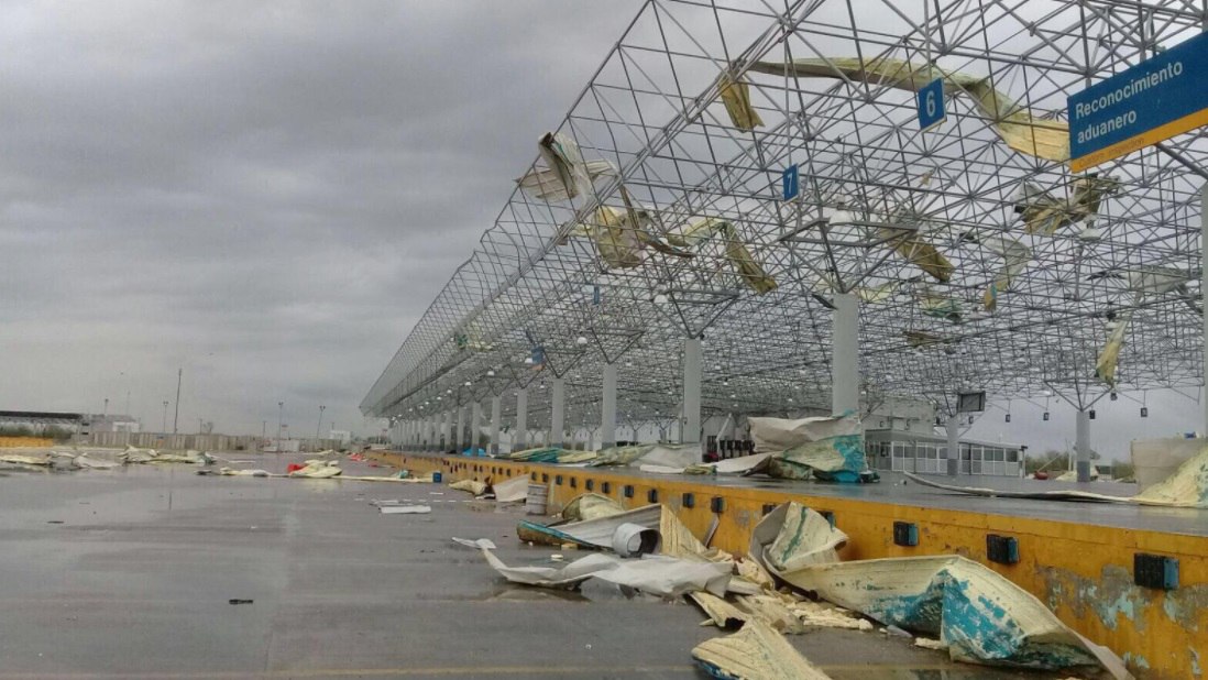 All custom facilities have been destroyed within minutes in Nuevo Laredo.
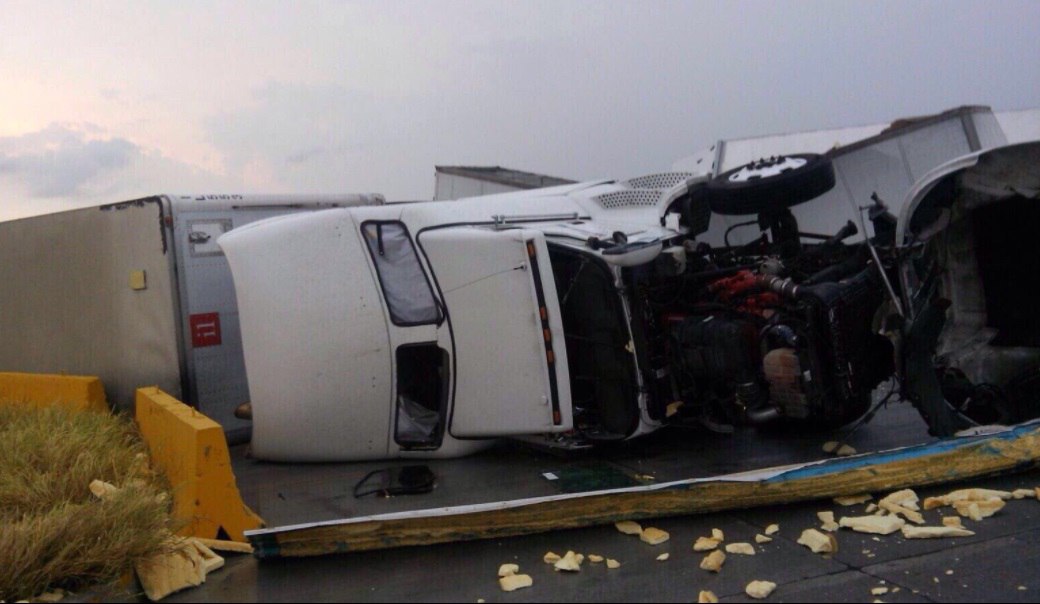 Targeted tornadoes? A new way to limit immigration in the US?
 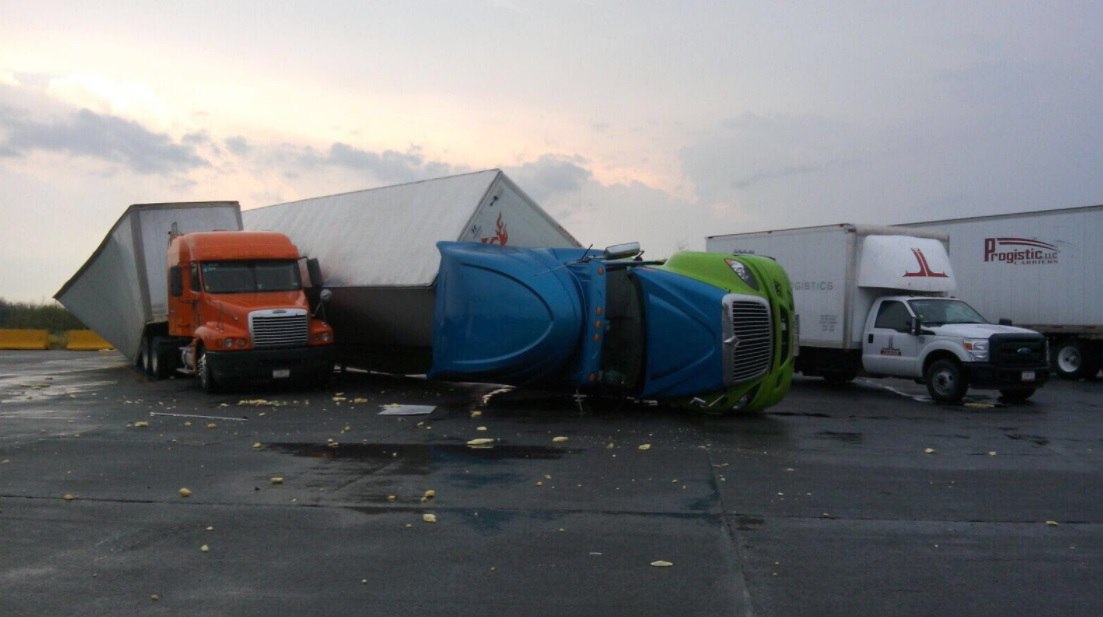 Even the biggest trucks didn’t resist the strong tornado in Nuevo Laredo.
 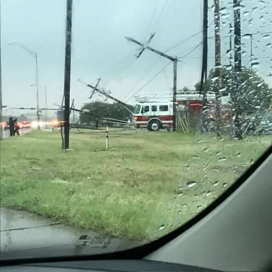 Electricity poles and power supply were caught off after the tornado in Nuevo Laredo.
You need to be a member of Earth Changes and the Pole Shift to add comments!
Join Earth Changes and the Pole Shift