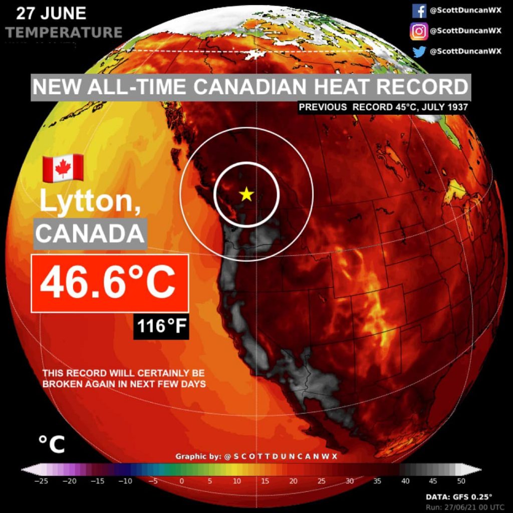
The Canadian village of Lytton, which set an all-time national heat record this week, has been engulfed by fast-moving wildfires, officials said Thursday, July 1, 2021. Mayor Jan Polderman said the whole place is on fire, adding that two people were reported dead. Around 486 sudden deaths were reported across the province of British Columbia amid a record-breaking heat wave, with the toll expected to continue rising.
More than 1 000 people in and around the town were evacuated late Wednesday, June 30, as the fire spread through the community.
As of Friday, July 2, there were 62 new fires reported in the province, and the cause is now under investigation, B.C. Premier John Horgan told reporters.
"I cannot stress enough how extreme the fire risk is at this time in almost every part of British Columbia." He added, "It will take an extraordinary amount of effort to get that historic location back to what it was."
"There was little or no time to warn the community. In fact, it was the mayor himself that got the first whiff, and within minutes, the city was engulfed."
Brad Vis, a member of Parliament for Mission-Matsqui-Fraser Canyon, said that 90 percent of the village is burned, including the center.
The fire inflicted extensive damage to B.C. Hydro stations and highways, limiting access to the village by road.
"Our poor little town of Lytton is gone," said resident Edith Loring Kuhanga. "This is so devastating-- we are all in shock! Our community members have lost everything."
The fires were triggered by a record-breaking heat wave, which has been affecting the Pacific Northwest.
The heat was responsible for Lytton setting temperature records for three consecutive days this week, with the highest being 49.6 °C (121.3 °F).
B.C. Coroners Service had received reports of 486 sudden deaths between June 25 and June 30, which is double the average number expected.


You need to be a member of Earth Changes and the Pole Shift to add comments!
Join Earth Changes and the Pole Shift