
Severe thunderstorms, tennis ball-sized hail wreak havoc across France
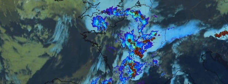
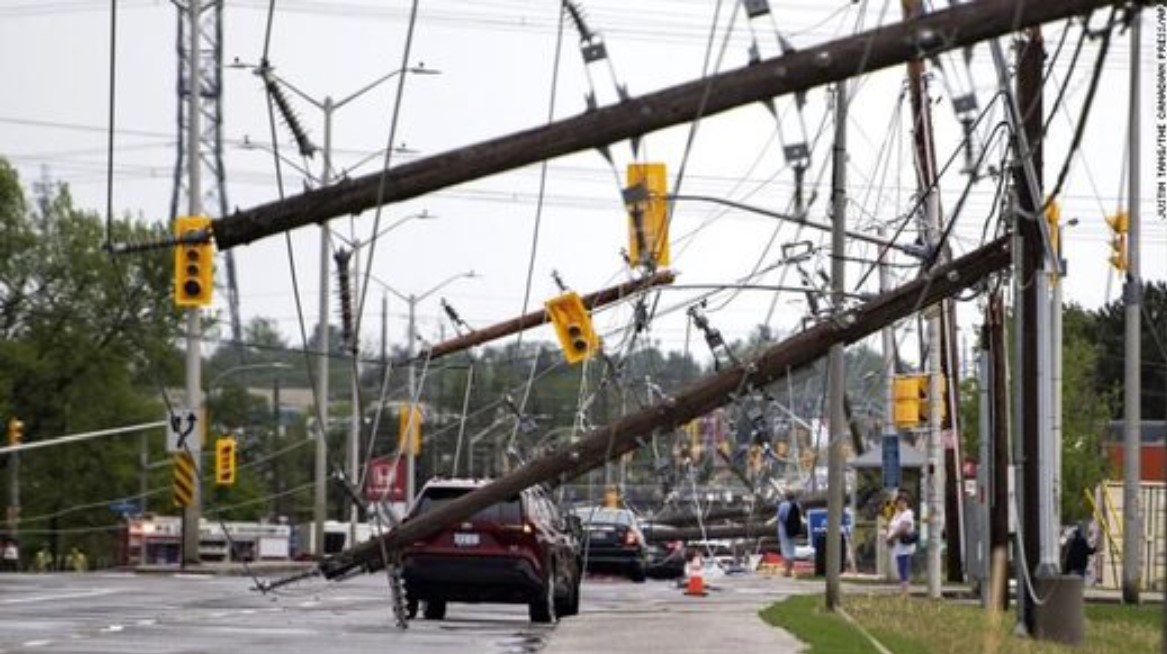
Severe thunderstorms brought heavy rain and up to tennis ball-sized hail to France on June 3 and 4, 2022, wreaking havoc in vineyards across large parts of the country, leaving thousands of homes without power, one person dead and 15 injured – two of them seriously.
- Météo-France issued an Orange severe weather alert for 65 departments on June 4 – for the first time in more than 20 years.
- Some areas saw a month’s worth of rain in just 12 hours.
- 50 000 lighting strikes were registered in 24 hours to June 5.
- Saint Gervais d’Auvergne in Puy de Dôme recorded winds of 106km/h (66 mph).
A woman died after being trapped under a car by flash waters caused by a storm in the northern city of Rouen, the mayor’s office announced.1
In the Landes and Gers region of southwest France, hailstones bigger than golf balls crashed down on parts of the Armagnac vineyard, affecting tens of thousands of hectares.
“In the vineyards, there is nothing left, the roof of our agricultural building is a giant Swiss cheese, and in the house, the windows are broken,” wine grower Nelly Lacave from the Landes region told AFP. “My father, who is almost 70 years old, has never seen this,” she added.
In Loir-et-Cher, central France, 30 000 scouts who gathered for a camping trip over the Pentecost holiday weekend had to be rushed to safety, many of them inside the local chateau.
Météo-France reported some areas saw a month’s worth of rain in just 12 hours to 06:00 LT on June 5, including 74 mm (2.91 inches) in Saint Yan (Saône et Loire) – normal June rainfall, 57 mm (2.2 inches) in Vichy (Allier) – 3/4 of normal June rainfall, and 54 mm (2.1 inches) in St Didier en Donjoj (Allier) – representing around 3/4 of the usual June rainfall.
Roads and streets were flooded up and down the country, including in areas of the capital, Paris, and in the northern departments of Yvelines, Seine-Maritime, Eure and Eure-et-Loir.2
Authorities warned that levels of the Eure River are dangerously high in Eure-et-Loir while local media reported that 2 bridges over the river in the Mayenne department were washed away.
Interior Minister Gérald Darmanin said one person died in flood waters in Rouen. 15 people were injured, of which 2 seriously.
Météo-France said very intense electrical activity accompanied the storms, with around 50 000 lightning strikes on the ground in 24 hours, including ~41 000 in just 12 hours.
Saint Gervais d’Auvergne (Puy de Dôme) recorded winds of 106 km/h (65.8 mph), Montbeugny (Allier) and Chalmazel Jeansagnière (Loire) 104 km/h (64.6 mph) and Saint André en Terre Plaine (Yonne) 103 km/h (64 mph).
References:
1 Storms kill woman, wreak havoc across large parts of France – The Local – June 5, 2022
2 France – One Dead as Fierce Storms Wreak Havoc Across 65 Departments – FloodList – June 5, 2022
Featured image credit: Meteo France
Source: https://watchers.news/2022/06/06/severe-thunderstorms-tennis-ball-s...


You need to be a member of Earth Changes and the Pole Shift to add comments!
Join Earth Changes and the Pole Shift