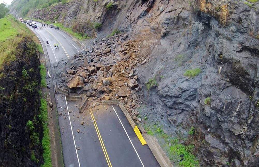
"The causes of landslides are not a mystery to mankind. Layers of rock and soil such that rain running along a clay or rock layer can create a slippery surface for the weight of the layers above it is a common cause. A rock jumble from previous mountain building, broken or fractured rock easily dislodged. We have stated that the earthquakes man experiences between the periodic passages of Planet X can be considered aftershocks from the last passage, and this is true of landslides also. Mountain building rumples the landscape, so the land is not flat but has steep ravines and hill sides. Older mountain ranges are recognized for their rounded or smoothed appearance, because of frequent landslides distributing the rubble.

"As we approach another passage, another Pole Shift, the pace of landslides has picked up. Why would this be? Plates under pressure will put pressure on regions that contain rumpled hillsides and deep ravines, as these give more readily than strictly flat land, thus act as a weak link. In addition, due to the wobble, the weather has gotten more extreme, with drought and deluge increasing in extremes. Dry ground, suddenly flooded with rainwater needing to seek its level as runoff, will create internal water slides between the rock and soil layers that constitute the rumpled hillsides. Is there an early warning system that mankind could use? The trembles that soil about to slide emits could be detected, yes. These are not earthquakes, and have their own frequency. "

ZetaTalk Chat Q&A: March 22, 2014

Views: 122993

Comment

You need to be a member of Earth Changes and the Pole Shift to add comments!

Join Earth Changes and the Pole Shift

Comment by Starr DiGiacomo on June 4, 2015 at 5:30am

http://www.ticotimes.net/2015/06/03/travel-alert-landslide-complete...


Travel Alert: Landslide closes Route 27, a major highway to Costa Rica's Pacific coast


 3 HOURS AGO

A landslide blocks both lanes of Costa Rica’s Caldera Highway at kilometer 45 on Wednesday, June 3, 2015.


(Via Firefighters Department)


Transit on Route 27, the main highway connecting San José with the Pacific province of Puntarenas, has been completely shut down by landslides that blocked both lanes of the road.

Heavy rains on Wednesday afternoon are to blame for the massive amount of earth that dropped on kilometer 45 of the Caldera Highway at about 3 p.m. There have been no reports of injuries.

Traffic Police closed access to the highway at the toll station at Atenas and at the intersection to Orotina.

The most severe traffic congestion is now affecting travelers in the San José-Caldera lane, Traffic Police reported at 5 p.m.

Globalvía, the company that administers the route, recommends drivers use alternate routes through Monte del Aguacate, on Route 3.

Comment by Howard on May 27, 2015 at 4:00pm

Wyoming Landslides Bury Railroad, Close Highway (May 24)

The Wind River Canyon saw a number of landslides following heavy rains this week that has closed the canyon.

A WYDOT Maintenance worker from Thermopolis narrowly missed being engulfed in a huge landslide on Sunday afternoon.

Glen Thomas was operating a loader trying to clear one of the landslides when another began roaring down the side of the canyon. He was trapped.

“I was pinned in from behind when I looked up and saw another one coming right at me,” Thomas said Monday afternoon inside the canyon. “A rock the size of a boulder came rolling down and flared out the guardrail. I tried to back out of it but I was pinched between two slides. I turned the loader off, left it in the middle of the road, and got out of there as fast as I could heading north on foot. I don’t want to ever experience that again.”

Thomas said a Hot Springs County Sheriff Deputy was dispatched to pick him up, and found him about three miles from the slide site walking down the road.

“Walking through the canyon in all that rain with rocks coming down all around me was pretty scary,” he said. “I don’t want to experience that again.” He said it was about 4 p.m. when the big slide came down.

The huge slide was actually a number of large slides that came down in the same vicinity. On Monday afternoon, rocks and water were still coming down and crossing the highway and portions of the highway were severely undercut.

A Thermopolis resident caught on the south side of the canyon was 88-year-old Mary King.

“I moved to Thermopolis when I was four years old and I have never seen anything like this before,” she said of the numerous huge waterfalls and landslides on both sides of the canyon.

In addition to the closed highway, the Burlington Northern/Santa Fe Railway line through the west side of the canyon was buried in a half dozen locations, including one slide that ripped the rails from the railbed and into the Wind River, narrowly missing a number of empty train cars on a siding.

Sources

http://county10.com/2015/05/25/thermopolis-wydot-employee-caught-in...

http://county10.com/2015/05/25/rockslides-bury-railroad-tracks-in-s...

Comment by Mark on May 27, 2015 at 10:57am

Six killed in Kyrgyzstan landslide

http://www.worldbulletin.net/news/159614/six-killed-in-kyrgyzstan-l...

Six people were killed on Sunday when a landslide hit a village in southern Kyrgyzstan’s Jalal-Abad province, emergency officials said.

According to the Ministry of Emergency Situations, three children were among the dead and a further 10 people were injured when the landslide, triggered by heavy rain, buried five houses in the village of Suzak, close to the Uzbekistan border.

Comment by Starr DiGiacomo on May 24, 2015 at 7:45am

Landslides block Kali Gandaki, locals flee for safety

  • No casualties reported, authorities ask locals to vacate area

  • This photo posted by benionline.com shows dust from the landslide debris over blocked Kali Gandaki River.
  • MAY 24 - A massive landslide has blocked Kali Gandaki River at Baisari in Bhagwati VDC of Myagdi district early Sunday morning.

    The landslip has buried 25 houses in Baisari. No human casualties have been reported yet. Panic-stricken locals in Baisari and areas including district headquarter Beni, Ghatan, Benibazar, Galeshwor, Pokharebagar have started to move to higher grounds after the river was blocked by the landslide at around 1 am this morning.

    Normally landslide is triggered by rain but in this case, the cracks triggered by earthquake led the debris to fall, according to experts. Rocks, boulders and mud are falling making huge sound

    Ministry of Science and Technology has declared 'high alert' in the settlements along the banks of Kaligandaki River owing to continuous landslides which have blocked the River.

    Flood Forecasting division of Department of Hydrology and Meterology under Ministry has appealed to the residents of settlements in the 7 districts below the landslide location  the river to stay alert.

    "A landslide based dam has been formed at Kaligandaki river approximately 10 km upstream of Beni Bazar. Residents living downstream in Galeshwor Bazaar and Beni Bazaar need to be in high alert," states a warning in the Ministry's website. "Parts of Syangja, Parbat, Myagdi, Baglung, Gulmi, Palpa and Nawalparasi districts in the downstream of this river also need to stay high alert."

    Nepal Police, through their twitter account, informed that the water level in the artificial dam created after the blockage of the river has risen by 150 meters. 

    Myagdi district headquarters, Beni bazaar, is said to be at the biggest risk due to the blockage as construction of gabion walls 3 kms from the confluence of the rivers on both sides has not been completed. The campaign was launched on 1998 and has only completed a gabion walls covering only a kilometre of Myagdi and Kaligandaki rivers.

  • Locals have already vacated the district headquarter Beni bazaar and move to safer grounds. Transportation along Beni-Jomsom road section has come to a halt.

    “We have asked people to remain on high alert and move to safer grounds. Not a drop of water is flowing downstream. We are still gathering the full scale of the damage,” said Myagdi Chief District Officer Tek Bahadur KC.

    A chopper with six rescue personnel onboard has flown for Myagdi from the Capital. The team has landed one kilometers upstream and will attempt to drain out the water from the artificial lake, Nepal Police informed. Nepal Army, Nepal Police personnel and officials from the Home Ministry have already reached the incident site.

    Meanwhile, Prakriti Raj Joshi, a geologist with Nepal Electricity Authority who returned from the dammed river, said that the water level has been constantly rising as the security personnel have not been able to find an outlet for the accumulated water.

    Nawa Raj Sharma, UML lawmaker from Myagdi who is now in Beni, said that the continuous falling of debris is making it difficult for the rescue team to drain out the water. The chopper which flew into the district with rescue team has not been able to locate the exact blockage of water as its view has been blocked by the dust from the falling debris.

Source:

http://www.ekantipur.com/2015/05/24/top-story/landslides-block-kali...

Comment by Howard on May 23, 2015 at 4:30am

More on the building collapse in China on May 20 reported by KM .

A 9-storey apartment building home to 114 people was completely demolished by a landslide on May 20 in the Yunyan District of Guiyang, the capital city of Guizhou.

It is clear that the building collapse was triggered by a landslide. Some of the images show the collapsed block with the landslide behind.

Of the 16 people missing, eight bodies have been recovered while eight remain missing.

Mobile phone signals of 15 of them were detected at the scene. 

More than 100 rescuers have been combing the debris with sniffer dogs and life detectors since the accident happened. Fourteen trapped people were pulled out from the debris soon after, including two seniors and a four-month baby.

According to Li Shiyong, head of firefighting team, there's still a chance to find survivors in the debris within the first 72 hours.

Sources

http://news.xinhuanet.com/english/2015-05/21/c_134259443.htm

http://blogs.agu.org/landslideblog/2015/05/21/guiyang-1-2/

Comment by Starr DiGiacomo on May 19, 2015 at 12:40am

http://www.lfpress.com/2015/05/18/at-least-40-dead-dozens-missing-i...

At least 40 dead, dozens missing in Colombian landslide

Reuters

A resident walks past the site of a landslide in Guaduas, along the highway between Bogota and Honda April 23, 2011. (Reuters file photo)

BOGOTA - At least 40 people have been killed and dozens are missing after a landslide in northwest Colombia in the early hours of Monday, officials said.

Heavy rains caused a ravine to overflow, sending mud and water onto neighboring homes in Salgar, located in Antioquia department.

"We still do not have an exact figure, I only know that there are more than 40 dead, many families displaced, but I still can't give an exact figure," local official Zulma Osorio told local Caracol Radio.

"The tragedy is of an immense magnitude," she added. "There are many more dead, the whole town is totally collapsed."

Photographs released by the country's air force and television news footage showed destroyed homes and streets covered in mud and debris in the town, which is located in a mountainous area close to the Colombian Andes.

Residents were pictured picking through rubble looking for survivors.

"This was so terrible, we heard rocks hitting, the water dragged us and we had to go to the kitchen and climb up onto the roof," a local man told Caracol.

President Juan Manuel Santos, who is traveling to the town, said via Twitter that Colombia's government will provide aid to the victims.

"We are attending to the emergency in Salgar. Those affected will receive all our support," he said.

Comment by Howard on May 17, 2015 at 7:46pm

Massive Glacier Collapse in Western China (May 16)

A huge portion of glacier has collapsed in China's Xinjiang, burying more than 100 cattle, crushing dozens of houses and covering 15,000 acres of grassland.

The enormous debris field was estimated at 20-km long, 1-km wide, 30-50 meters high with a volume of 500 million cubic meters.

The Kongur Tiube glacier collapse occurred in the Akto County of the Kizilsu Kirghiz Autonomous Prefecture.

About 60 families were evacuated.

Researchers of the Chinese Academy of Sciences (CAS) have been sent to investigate the glacier move.

The researchers will collect information via remote sensing technologies, said Li Zhongqin, head of CAS Tianshan Mountains Glacier Observation Station.

Kongur Tiube, which means in the local language "the mountain with a white cap", is the second highest peak of the Western Kunlun with elevation of 7,530 meters.

Sources

http://news.ifeng.com/a/20150516/43771483_0.shtml

http://translate.google.com/translate?hl=en&sl=auto&tl=en&a...

http://news.xinhuanet.com/english/2015-05/16/c_134244924.htm

Comment by Mark on May 15, 2015 at 5:08pm

Landslip disrupts traffic on Munnar ghat road

http://www.thehindu.com/news/national/tamil-nadu/landslip-disrupts-...

Tourists travel additional 100 to 120 km to reach Munnar

Vehicular traffic was disrupted on Bodi-Munnar ghat road since Wednesday night owing to a massive landslip on 14{+t}{+h}hairpin bend caused by heavy rainfall on the Western Ghats.

Big boulders and heaps of soil blocked the entire road, leaving a small space for persons to cross on foot.

The Tamil Nadu State Transport Corporation and private bus operators suspended all services to Munnar and other places in Kerala from Bodi, Periyakulam and Madurai since Wednesday night, and private vehicles and trucks were diverted either through Cumbum Mettu or Kumuli ghat road to reach Munnar.

Tourists affected

With commencement of summer season, flow of tourists to Munnar has increased. Closure of the ghat road made it difficult for the tourists, who had to travel an additional 100 to 120 km to reach Munnar.

Estate workers too could not go for work in the morning as jeep operators did not operate their vehicles.

All vehicles were stranded on the ghat road since morning. Later, police stopped the vehicles at Mundhal check-post and diverted them through Cumbum.

Comment by KM on May 14, 2015 at 4:08pm

http://www.winnipegfreepress.com/arts-and-life/life/greenpage/homes...

Homes on sliding river bank in Saskatoon put on evacuation alert

Comment by Starr DiGiacomo on May 14, 2015 at 1:17am

http://www.cbc.ca/news/canada/sudbury/rock-face-collapse-on-sudbury...

AUDIO

Rock face collapse on Sudbury highway narrowly misses crushing pick-up truck

'It could have been anyone of us under those rocks,' area resident says

CBC News Posted: May 13, 2015 9:37 AM ET Last Updated: May 13, 2015 11:57 AM ET

A rock slide on Highway 537 near Wanup send boulders crashing across the road. The highway remains closed.

A rock slide on Highway 537 near Wanup send boulders crashing across the road. The highway remains closed. (Megan Thomas/CBC)

A rock slide last night on Highway 537 in the Wanup area south of Sudbury narrowly missed crushing vehicles on Tuesday night.

Giant boulders crashed down on the shoulder of the highway and spilled across both lanes of traffic around 10:40 p.m.

Elle Hoar of Sudbury was driving on Highway 537. She said she slowed down because a pickup truck in front of her had its hazard lights on.

When she looked past the truck, she said she saw the rocks on the road.

Rock fall

Elle Hoar posted this photo on Facebook Tuesday night: "Narrowly escaped a rock slide on my way home tonight. Truck in front of me [not pictured] wasn't so lucky-front end crushed and smeared across the road. Driver is ok." (Elle 

"Gigantic truck and shed-sized boulders were there."

Hoar said she knew the boulders had fallen just a few minutes before because dust still lingered in the air.

Some of the rocks had also damaged the pick-up truck that was driving in front of her, Hoar said.

"They definitely fell on the truck. There was a large boulder the size of her truck that had come down on the front of her hood and had taken her across the road and into the other lane," she said.

"It was a really close call. [The driver] was so lucky to be safe and be all in one piece and her truck not to be damaged in the cab and not just on the hood," Hoar said.

Hoar said she stayed until she knew the driver of the pickup was okay, and emergency officials had been contacted, before taking another road to get home.

On mobile? Listen to the interview with Elle Hoar

The rock slide has shaken other residents who live in the area.

Nancy Rose drives past the spot every day and was walking her dog in the area Wednesday morning.

"It could have been anyone of us under those rocks," she said.

Road remains closed

OPP said the highway was closed to traffic in both directions shortly after the rock slide. It remains closed until further notice. 

A Ministry of Transportation official at the scene said the cleanup of the debris would likely take 24 to 48 hours.

There is a detour around the area. Drivers can take Old Wanup Road to get to Highway 69 or Estaire Road to Old Wanup Road. 

Highway 537 is a two-lane section of provincial road that connects Highway 17 at Wahnapitae to Highway 69 at Wanup.

SEARCH PS Ning or Zetatalk

 
Search:

This free script provided by
JavaScript Kit

Donate

Donate to support Pole Shift ning costs. Thank you!

© 2025   Created by 0nin2migqvl32.   Powered by

Badges  |  Report an Issue  |  Terms of Service