U.S. Coast Guard officers plucked at least a dozen people from the water as emergency services were overwhelmed by a disaster that appeared to have erupted almost without warning.
“We are still in a search and rescue mode and so I don’t know what will happen to that number.”
Lieutenant Governor Sylvia Luke issued an emergency proclamation and told CNN the hospital system on the island of Maui “was overburdened with burn patients, people suffering from inhalati“911 is down. Cell service is down. Phone service is down,” she said.
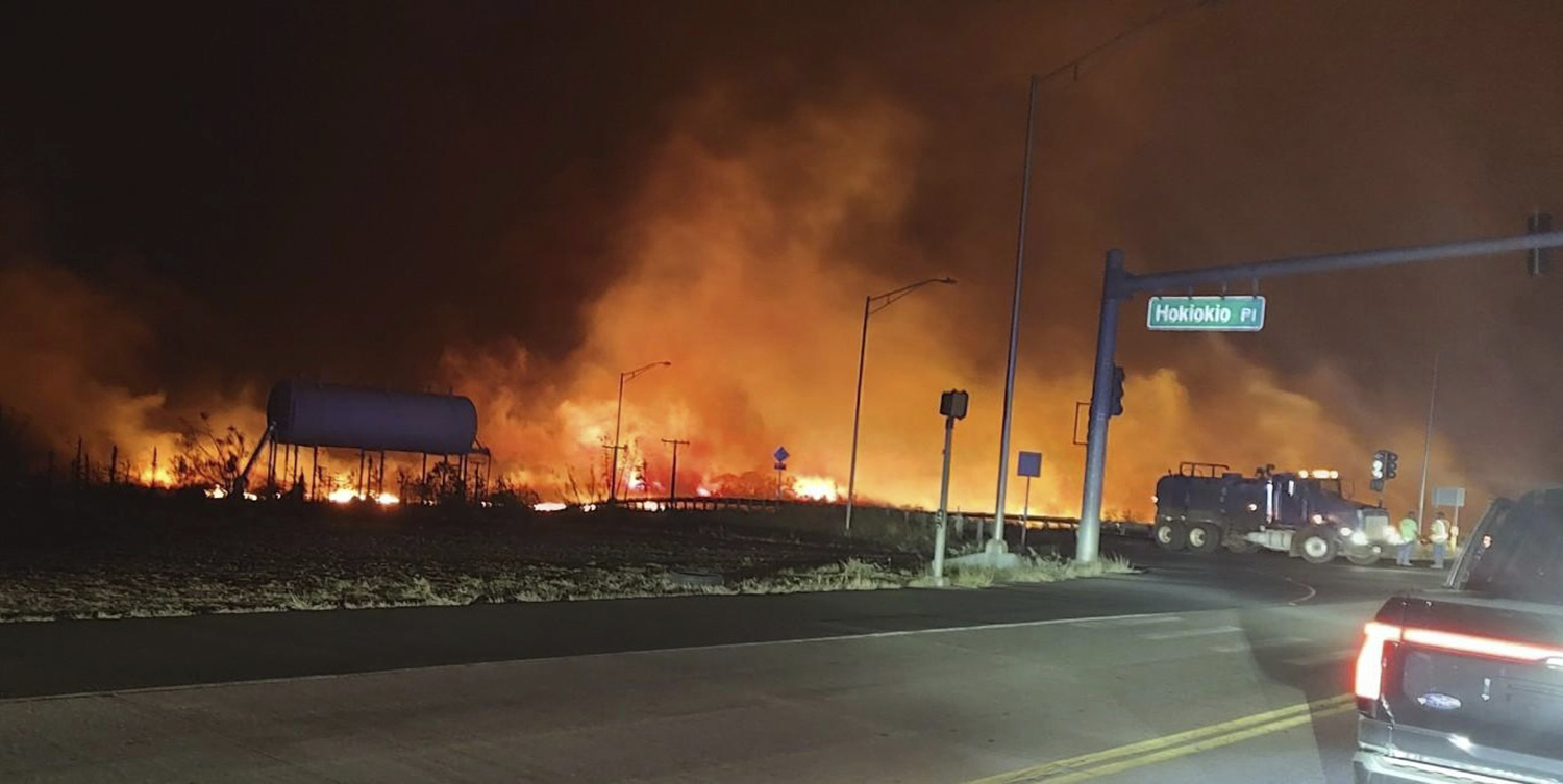
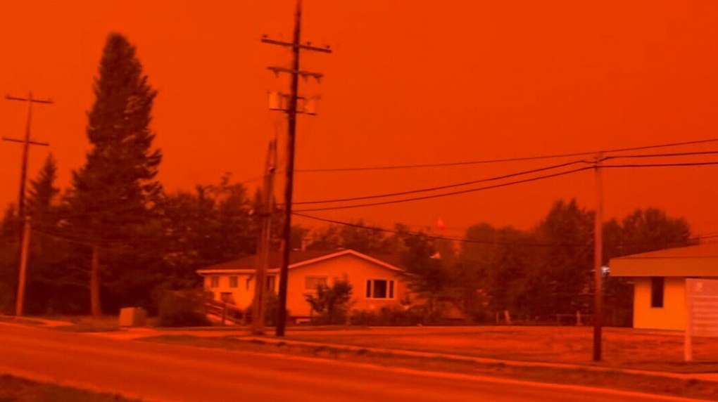
This photo provided by County of Maui shows fire and smoke filling the sky from wildfires on the intersection at Hokiokio Place and Lahaina Bypass in Maui, Hawaii on Tuesday, Aug. 8, 2023. Wildfires in Hawaii fanned by strong winds burned multiple structures in areas including historic Lahaina town, forcing evacuations and closing schools in several communities Wednesday, and rescuers pulled a dozen people escaping smoke and flames from the ocean. (Zeke Kalua/County of Maui via AP)
Lahaina, a tourist town of 12,000 on the northwestern tip of Maui, lay in ruins, said Governor Josh Green.
“Much of Lahaina on Maui has been destroyed and hundreds of local families have been displaced,” said Green.
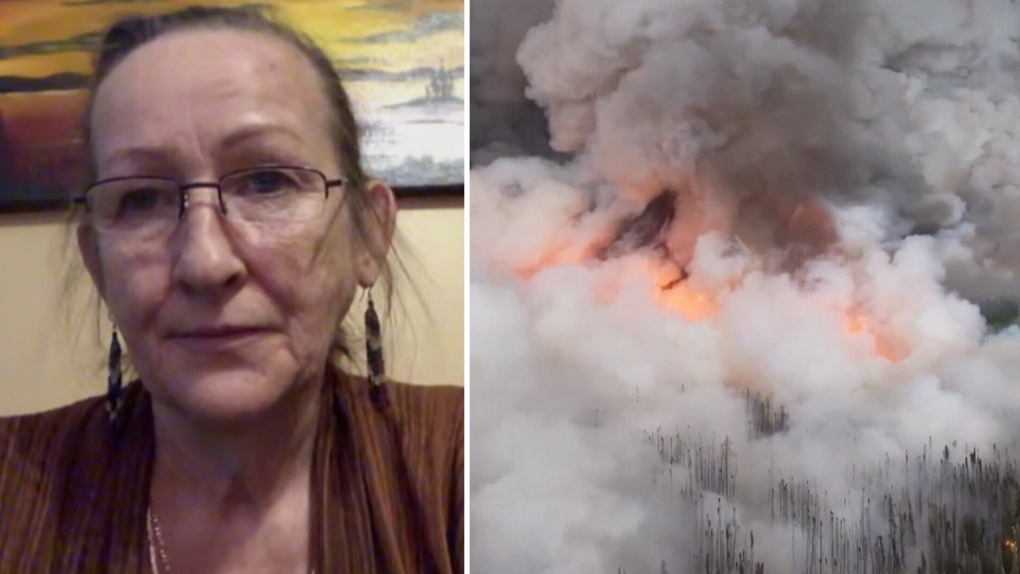
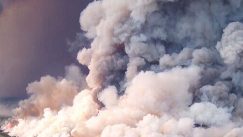
Video posted on social media showed blazes tearing through the heart of the beachfront town and sending up huge plumes of black smoke.


You need to be a member of Earth Changes and the Pole Shift to add comments!
Join Earth Changes and the Pole Shift