


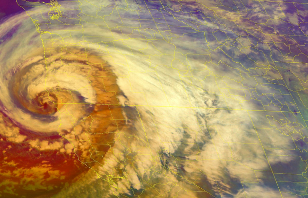
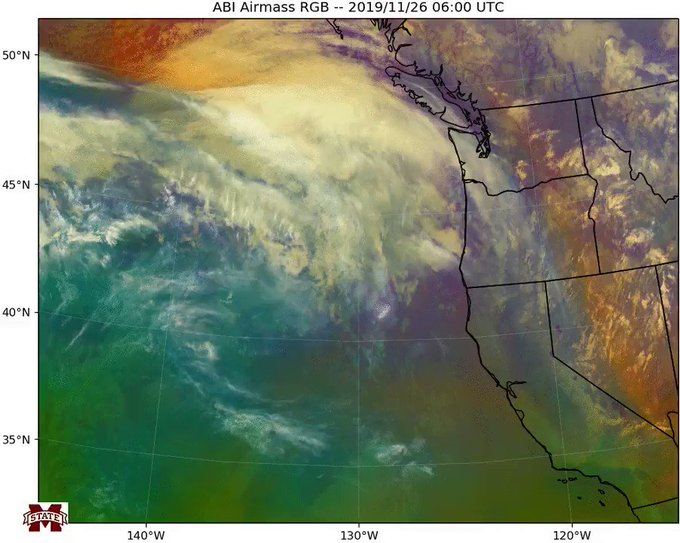
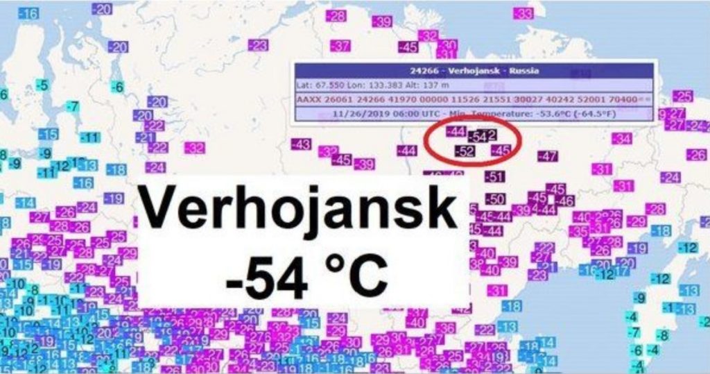
 leading to persistent
  Discussed in the last
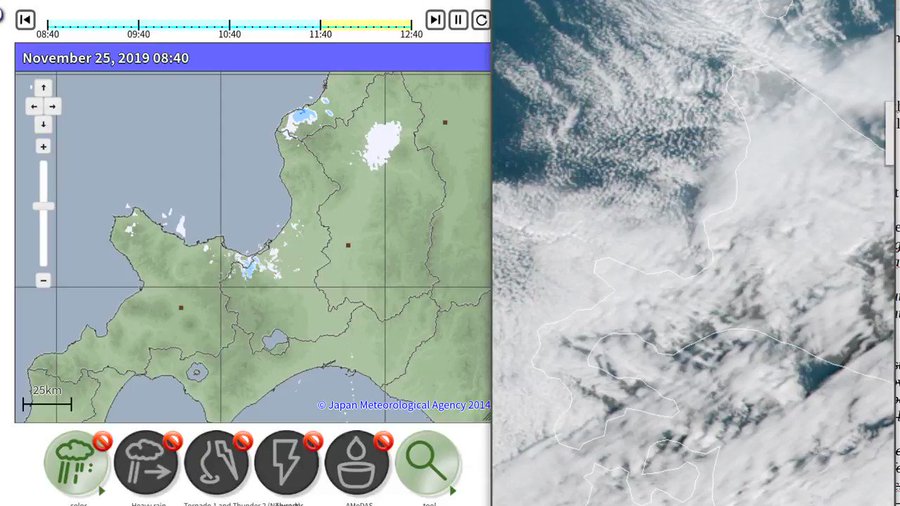


 BOOKING

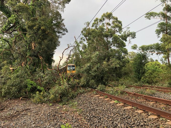
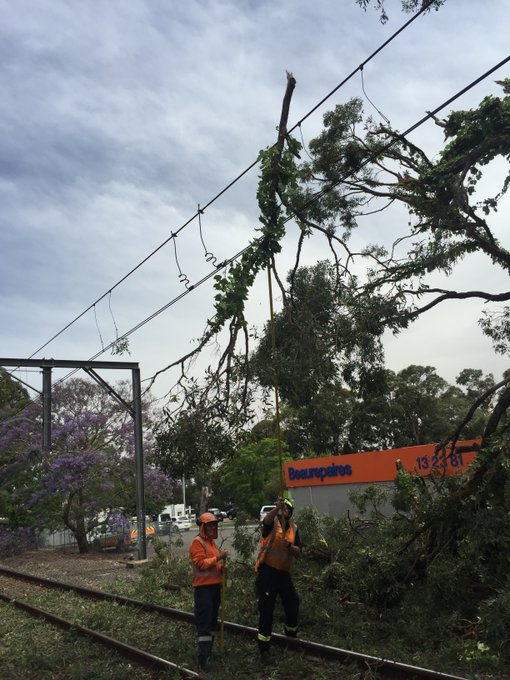
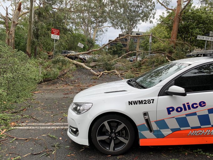
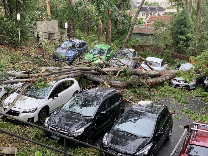
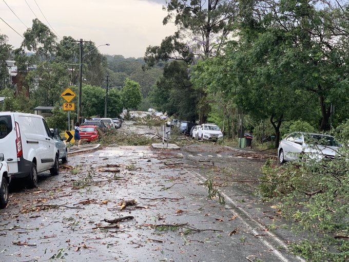
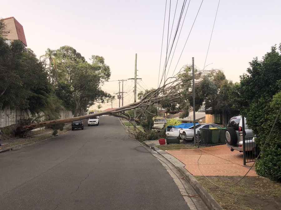
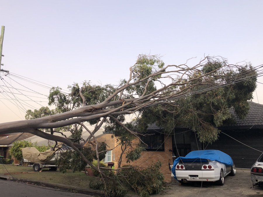
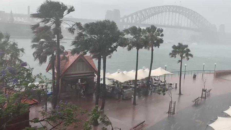
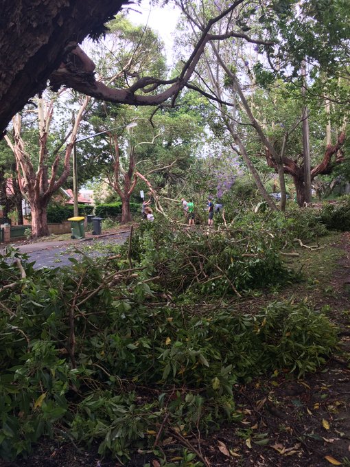
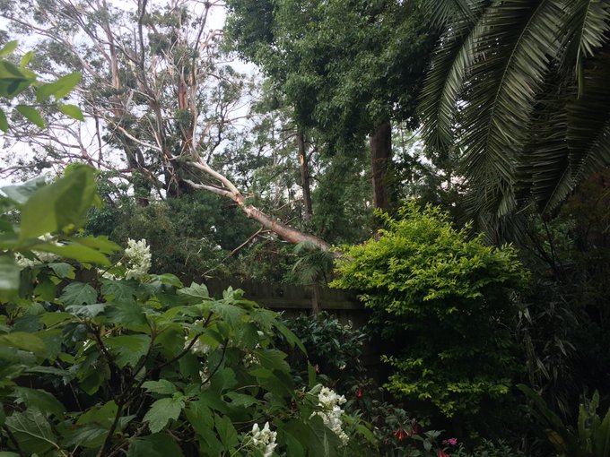
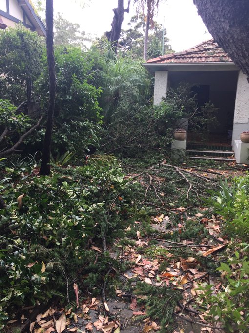
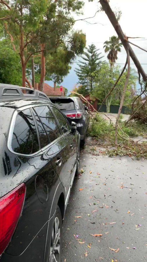
A severe, fast-moving thunderstorm swept across the Greater Sydney region on Tuesday afternoon.
Huge hail and powerful winds wreak havoc on trains and roads, causing widespread damage and leaving 76,500 homes without power.
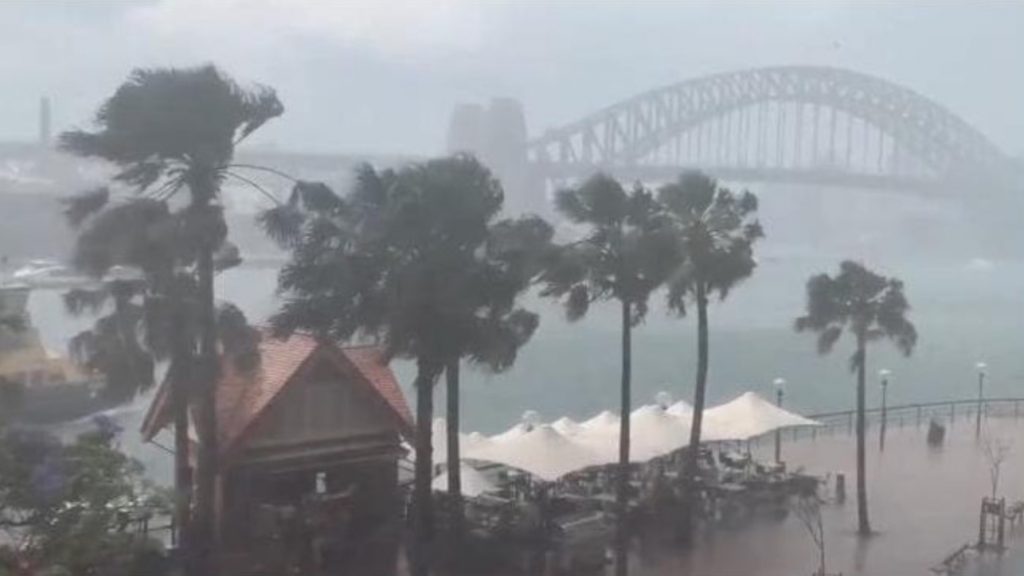
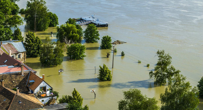
Freak storm engulfs Sydney on November 26, 2019. Picture via Youtube Video
The freak storm only lasted two minutes in parts of northern Sydney, but the wreckage will take days to clean up.
After France and Italy this weekend, it’s now Australia that experiences wild weather. The Harbour City was lashed by strong winds, lightning and hail, after a “monster” thunderstorm tore through large swathes of northern Sydney shortly before 2 p.m. on Tuesday.
By mid afternoon, trains had stopped running between Gordon and Berowra on the T1 North Shore Line and Central Coast and Newcastle Line due to urgent power supply repairs at Hornsby, and fallen trees on the tracks at Gordon.
90km/h winds uprooted trees at Roseville Golf Club, forcing golfers to find cover in the clubhouse, where the ferocious weather left a trail of destruction.
Lightning and damaging wind gusts were responsible for widespread power outages, which left 51,500 homes in the Greater Sydney, Lake Macquarie, and Central Coast areas without power.
There were still more than 25,000 homes and businesses without power on Tuesday afternoon. And emergency crews were working hard to repair at least 190 electrical hazards due to the storm.
Replacement buses were being organised ahead of peak commuter hours but it is feared there will be delays during that busy time. Commuters are urged to delay their trip or allow plenty of extra travel time, listen to announcements and check indicator boards.
Before the storm hit, Sydney was again cloaked in a blanket of thick bushfire smoke and the temperature in the CBD had soared to 35.2 degrees by midday.
By the time the storm had swept through an hour later, the mercury had plummeted 6.3 degrees to 28.9 degrees.
The extreme weather event has probably swept away the smoke for a few hours. But what a storm. WOW! [The Australian]


You need to be a member of Earth Changes and the Pole Shift to add comments!
Join Earth Changes and the Pole Shift