


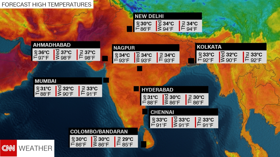
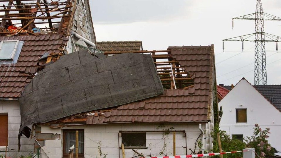
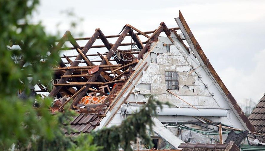
The Storm Prediction Center said most tornadoes last less than 10 minutes and stay on the ground for about 31/2 miles. Wednesday’s storm covered 26 miles from near Niles and southeast of Chapman, but was moving so slowly it lasted an hour and a half and was so isolated that other storms never interrupted its air flow.
The SPC said the legendary, long-lived tornadoes talked about from a century ago were most likely a series of storms along one general path.
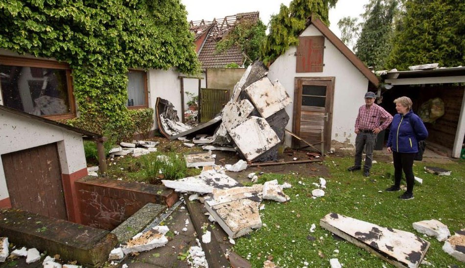
The twister that hit Kansas tracked eastward at an average speed of 17.3 mph. The slow forward motion gave forecasters plenty of time to warn people living in the area to either get out of the storm’s way or take shelter.
The National Weather Service at Topeka warned Chapman’s 1,400 residents at 8:06 p.m. Wednesday that the storm was 4 miles west. At the storm’s pace, that gave people 15 minutes to prepare. There have been no reports of injuries or deaths.
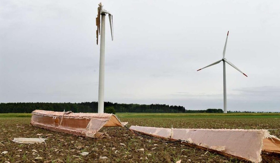
Tornadoes are usually part of weather systems that form multiple storms – one with hail here, high winds there. Cold air flowing out of those other storms often chokes off the balance a storm needs to keep a tornado going, said Erik Rasmussen, a research scientist at the University of Oklahoma and the project director for Vortex Southeast.
“The things that end up destroying a tornado didn’t happen,” Rasmussen said. “It was really just bad luck.” The next-nearest storm capable of influencing the Chapman twister was south of Wichita, Kansas, 120 miles to the south.
Tornadoes are the most efficient way to move air from one part of the atmosphere to another. Typically in the U.S., tornadoes form when moist, warm air from the Gulf moves northward on air currents to meet drier, cooler air moving in from the Pacific or Canada.


You need to be a member of Earth Changes and the Pole Shift to add comments!
Join Earth Changes and the Pole Shift